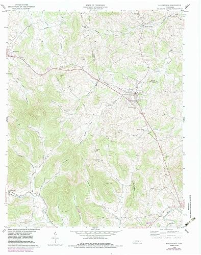
Alexandria TN topo map, 124000 Scale, 7.5 X 7.5 Minute, Historical, 1958, Updated 1983, 27.5 x 22 in
Categoría: Mapas Topográficos
Envío gratis
Precio y disponibilidad de Alexandria TN topo map, 124000 Scale, 7.5 X 7.5 Minute, Historical, 1958, Updated 1983, 27.5 x 22 in
$ 348.777
Stock disponible
Tiempo de entrega estimada Sábado 7 de marzo al Viernes 13 de marzo.