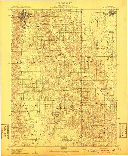
Macon MO topo map, 162500 Scale, 15 X 15 Minute, Historical, 1910, 19.8 x 16.3 in
Categoría: Mapas Topográficos
Envío gratis
Precio y disponibilidad de Macon MO topo map, 162500 Scale, 15 X 15 Minute, Historical, 1910, 19.8 x 16.3 in
$ 348.777
Stock disponible
Tiempo de entrega estimada Viernes 6 de marzo al Jueves 12 de marzo.