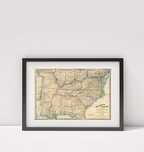
1865 Map of United StatesMap of The Southern States of North AmericaTitle Map of The Southern Sta
Categoría: Mapas
Envío gratis
Precio y disponibilidad de 1865 Map of United StatesMap of The Southern States of North AmericaTitle Map of The Southern Sta
$ 276.777
Stock disponible
Entrega internacional estimada de 9 a 12 dias habiles en Colombia.