$307,777

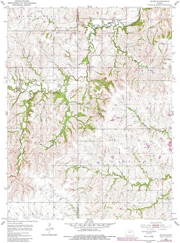
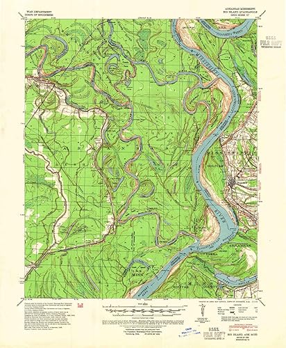
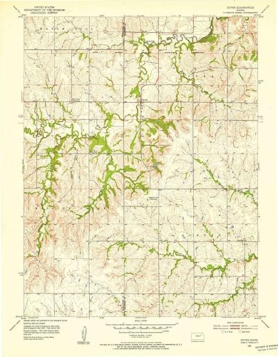
YellowMaps Burnsville WV topo map, 162500 Scale, 15 X 15 Minute, Historical, 1927, 20.2 x 16.5 in

Disponibilidad: Hay existencias

Pago seguro con

Ventajas de Comprar en Yaxa

  • Envío GRATUITO
  • Pagos seguros - La pasarela es la que procesa y almacena tu pago
  • Compras Empresariales - Se entrega Factura Electrónica
  • Compra Internacional
  • Tiempo de entrega de 7 a 15 días hábiles
SKU: B07L2CJN7S Categoría:

Descripción

¡Lanzamiento Especial!

Descubre nuestra tienda especializada en productos importados de China.
Visítanos en: importadosdechina.yaxa.co

Descripción
USGS topographic map of Burnsville, West Virginia, dated 1927.Includes geographic coordinates (latitude and longitude), lines of elevation, bodies of water, roads, and more. This topo quad is suitable for recreational, outdoor uses, office applications, or wall map framing.Printed on-demand by YellowMaps on the print material of your choice.Shipping rolled from Minneapolis, MN, United States.Product Number: USGS-5415010Map Size: 20.2 inches high x 16.5 inches wideMap Scale: 1:62500Map Type: POD USGS Topographic MapMap Series: HTMCMap Version: HistoricalCell ID: 51950Scan ID: 700485Visual Version Number: 2Survey Year: 1903Datum: NADMap Projection: PolyconicMap published by United States Geological SurveyMap Language: EnglishScanner Resolution: 508 dpiMap Cell Name: BurnsvilleGrid size: 15 X 15 MinuteDate on map: 1927Geographical region: West Virginia, United StatesNorthern map edge Latitude: 39°Southern map edge Latitude: 38.75°Western map edge Longitude: -80.75°Eastern map edge Longitude: -80.5°Surrounding map sheets (copy & paste the Product No. in the search bar):North: USGS-5415948,USGS-5415952,USGS-5414448,USGS-5414446,USGS-5415946East: USGS-5415176,USGS-5415170,USGS-5659976,USGS-5415172,USGS-5414498South: USGS-5415932,USGS-5415936,USGS-5414352,USGS-5414354,USGS-5415934West: USGS-5412474,USGS-5412472,USGS-5415334,USGS-5415344,USGS-5415337
Características
Printed on Regular Paper (32lb) USGS topographic map of Burnsville, WV, at 1:62500 scale. High-quality paper print. Perfect for wall maps. Cities, towns, villages: Knawl,Bulltown,Dutch,Napier,Arnold,Burnsville,Heaters,Falls Mill,Bower,Gem,Bealls Mills,Bennett,Sand Fork,Braxton,Blackburn,Rollyson,Aspinall,Stouts Mills,Gilmer,Copley,Arnett,Bonnie,Hyers,Orlando,Finster,Ellis,Peterson,Chapman,Copen,Donlan,Gillooly Rivers, creeks: McCauley Run,Posey Run,Benny Run,Jerseywood Run,Mulberry Run,Burns Run,Triplets Run,Grasslick Run,Elliott Run,Lick Run,Middle Run,Duskcamp Run,Moore Run,Goosepen Run,Laurel Run,Jennings Run,Tyler Run,Tomblin Run,Dumpling Run,Crooked Fork,Right Fork Duskcamp Run,Millstone Run,Ellis Creek,Coal Run,Butchers Fork,Middle Run,Left Fork Knawl Creek,Keith Run,Left Fork Falls Run,Long Run,Raccoon Run,Road Run,Beech Fork,Chop Fork,Saltlick Creek,Pine Run,Middle Ellis Creek Lakes: Consult topo map preview for bodies of fresh water.
Peso
57.00 Gramos
Dimensiones
16.5 x 20.2 pulgadas
Fabricante es ‎USGS
Destacados
Printed on Regular Paper (32lb), USGS topographic map of Burnsville, WV, at 1:62500 scale. High-quality paper print. Perfect for wall maps., Cities, towns, villages: Knawl,Bulltown,Dutch,Napier,Arnold,Burnsville,Heaters,Falls Mill,Bower,Gem,Bealls Mills,Bennett,Sand Fork,Braxton,Blackburn,Rollyson,Aspinall,Stouts Mills,Gilmer,Copley,Arnett,Bonnie,Hyers,Orlando,Finster,Ellis,Peterson,Chapman,Copen,Donlan,Gillooly, Rivers, creeks: McCauley Run,Posey Run,Benny Run,Jerseywood Run,Mulberry Run,Burns Run,Triplets Run,Grasslick Run,Elliott Run,Lick Run,Middle Run,Duskcamp Run,Moore Run,Goosepen Run,Laurel Run,Jennings Run,Tyler Run,Tomblin Run,Dumpling Run,Crooked Fork,Right Fork Duskcamp Run,Millstone Run,Ellis Creek,Coal Run,Butchers Fork,Middle Run,Left Fork Knawl Creek,Keith Run,Left Fork Falls Run,Long Run,Raccoon Run,Road Run,Beech Fork,Chop Fork,Saltlick Creek,Pine Run,Middle Ellis Creek, Lakes: Consult topo map preview for bodies of fresh water.

Información adicional

Peso 1.00 lbs

Valoraciones (0)

Valoraciones

No hay reseñas todavía

Solo los usuarios registrados que hayan comprado este producto pueden hacer una valoración.

Carrito de compra
YellowMaps Burnsville WV topo map, 162500 Scale, 15 X 15 Minute, Historical, 1927, 20.2 x 16.5 in ColombiaYellowMaps Burnsville WV topo map, 162500 Scale, 15 X 15 Minute, Historical, 1927, 20.2 x 16.5 in
$307,777

Disponibilidad: Hay existencias

Abrir chat
1
💬 ¿Te ayudamos?
Yaxachat
¡Este producto puede ser tuyo solo por $307,777!
Si tienes alguna duda adicional, pregúntanos.