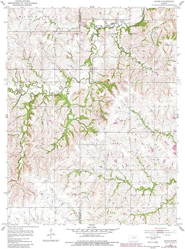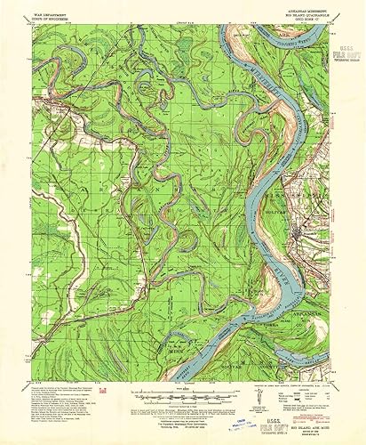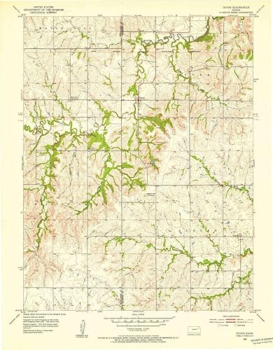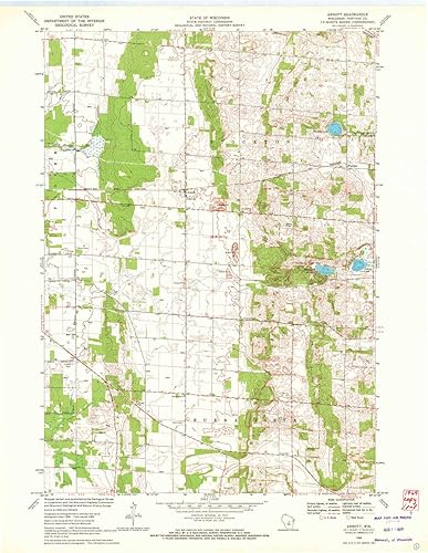
Arnott WI topo map, 124000 Scale, 7.5 X 7.5 Minute, Historical, 1969, Updated 1972, 27.29 x 21.13 in
Categoría: Mapas Topográficos
Envío gratis
Precio y disponibilidad de Arnott WI topo map, 124000 Scale, 7.5 X 7.5 Minute, Historical, 1969, Updated 1972, 27.29 x 21.13 in
$ 341.777
Stock disponible
Entrega estimada de 8 a 14 dias habiles en Colombia.