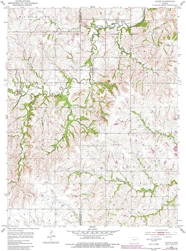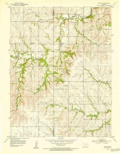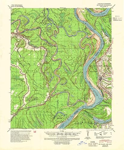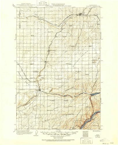
YellowMaps Connell WA topo map, 1125000 Scale, 30 X 30 Minute, Historical, 1916, 20.8 x 17.1 in
Categoría: Mapas Topográficos
Envío gratis
Precio y disponibilidad de YellowMaps Connell WA topo map, 1125000 Scale, 30 X 30 Minute, Historical, 1916, 20.8 x 17.1 in
$ 645.777
Stock disponible
Entrega estimada de 8 a 14 dias habiles en Colombia.