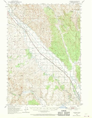
YellowMaps Jamieson OR topo map, 162500 Scale, 15 X 15 Minute, Historical, 1950, Updated 1970, 20.9 x 16.8 in
Categoría: Mapas Topográficos
Envío gratis
Precio y disponibilidad de YellowMaps Jamieson OR topo map, 162500 Scale, 15 X 15 Minute, Historical, 1950, Updated 1970, 20.9 x 16.8 in
$ 295.610,45
$ 347.777
Stock disponible
Entrega estimada de 8 a 14 dias habiles en Colombia.